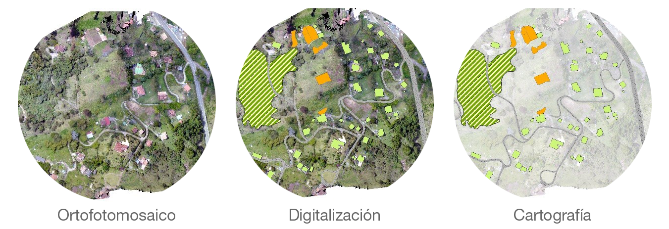
- Espatial databases elaboration and consolidation
- Plans and graphic outputs elaboration
- Satellite images and orthophotos photointerpretation
- Spatial data bases review and supervision
- Follow-up and monitoring of construction sites
- Inspection of structures
- Volume calculations
- Photo interpretation
- Property updating and management
- Sensitive infrastructure mapping and base mapping
- Structuring of spatial databases
- Least cost analysis for infrastructure location
- Acquisition of information through surveys with UAV systems
- GIS component for property management
- 3D modeling


